Saturday, September 21, 2024

The 2024 PNW Ride - Day 8

September 18, 2024


It was cold overnight and I was just barely warm enough.  When I got up I checked the temperature and my bike indicated that it was 41°, definitely brisk.  I made some hot cocoa, put it my thermos, and decided to start the day with a hike.  I looped the campground and looked up and down Hwy 20.


I retraced my steps from yesterday’s hike to the washed out bridge and took a few photos.


I went back on the paved trail a bit and took the dirt trail.  


It follows the river but climbs high on the hillside about it.  I was curious about how it crossed the river as the map indicated that it did.  I arrived at a wooden and cable bridge that I crossed to the other side.


The view from the bridge.


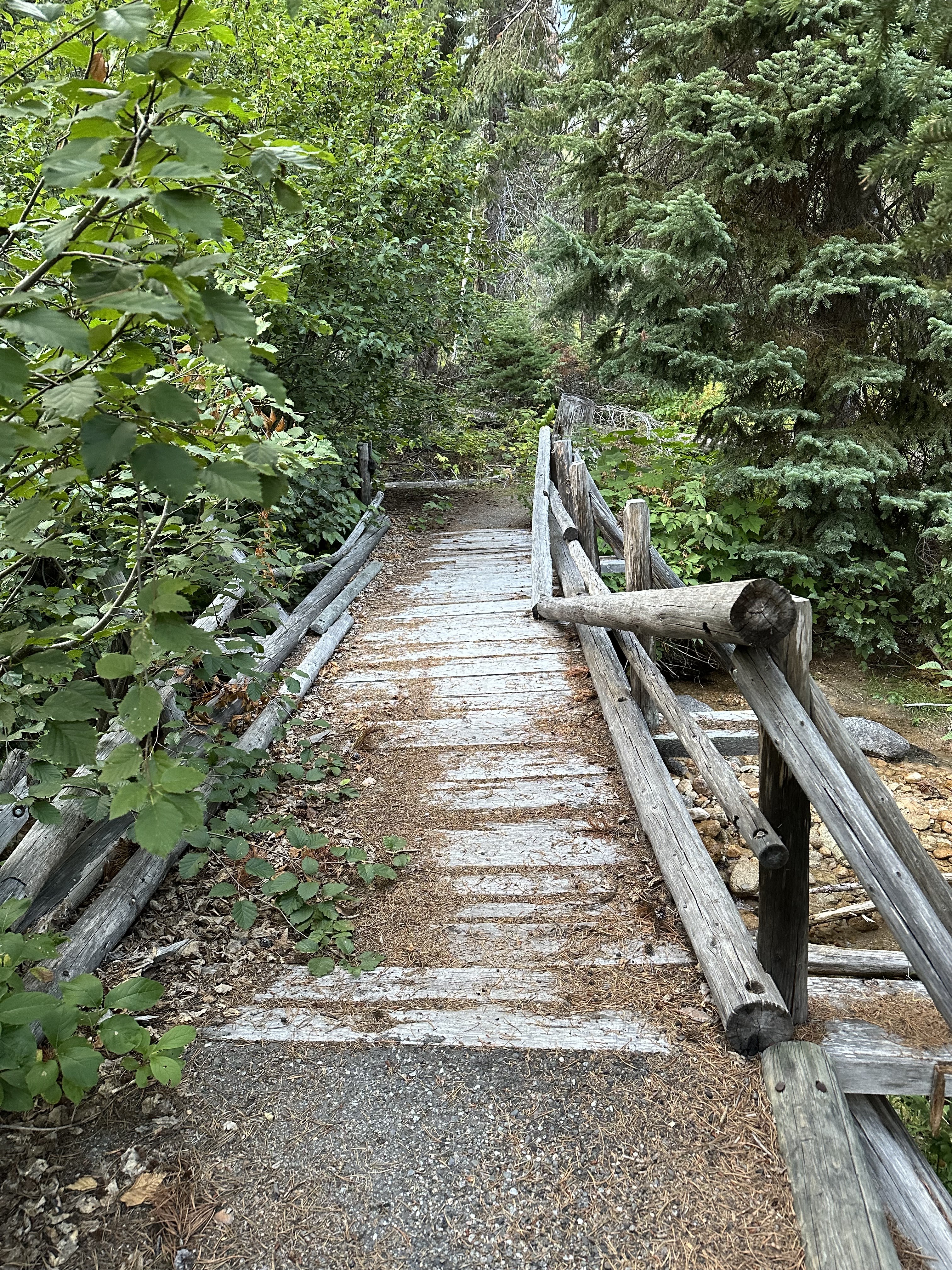
Rather than try the trail back on the other side of the river I went back the way I came.  There are small bridges along the way like this one.


I got my oatmeal started soaking and then got things packed up.


I put both my rain and thermal liner in my jacket and wore my heavier gloves as it felt icy once I got rolling.  I rode about 25 miles to Winthrop and by then, coming down from the mountains, I was too warm since the temperature had gone up about 35°.  I pulled into their library and pulled the liners out of my jacket and packed them and my heavy gloves into my bag.  I noticed that the library was getting solar installed.  I stopped for gas before leaving town.


I continued south on Hwy 20 and went through the town of Twisp.  Hwy 20 turned east and took me to Omak where I turned north on Hwy 97.  I rode that to just short of the border where I topped up my tank.  I pulled up to the border crossing and waited my turn.
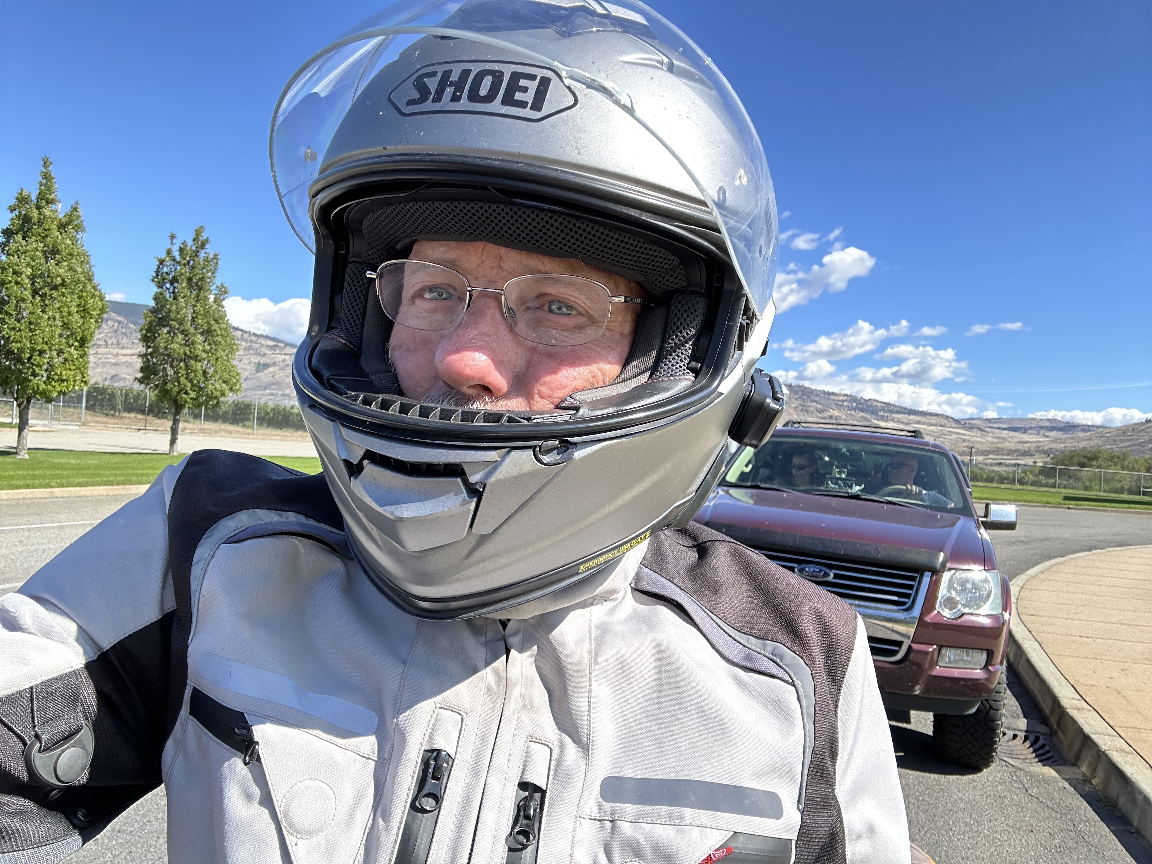


I handed over my passport and got the usual questions: where was I going and why; how long would I be in the country; did I bring guns, alcohol, drugs, or any fresh fruit and vegetables.  I gave short answers and was handed back my passport and on my way in less than a minute.  


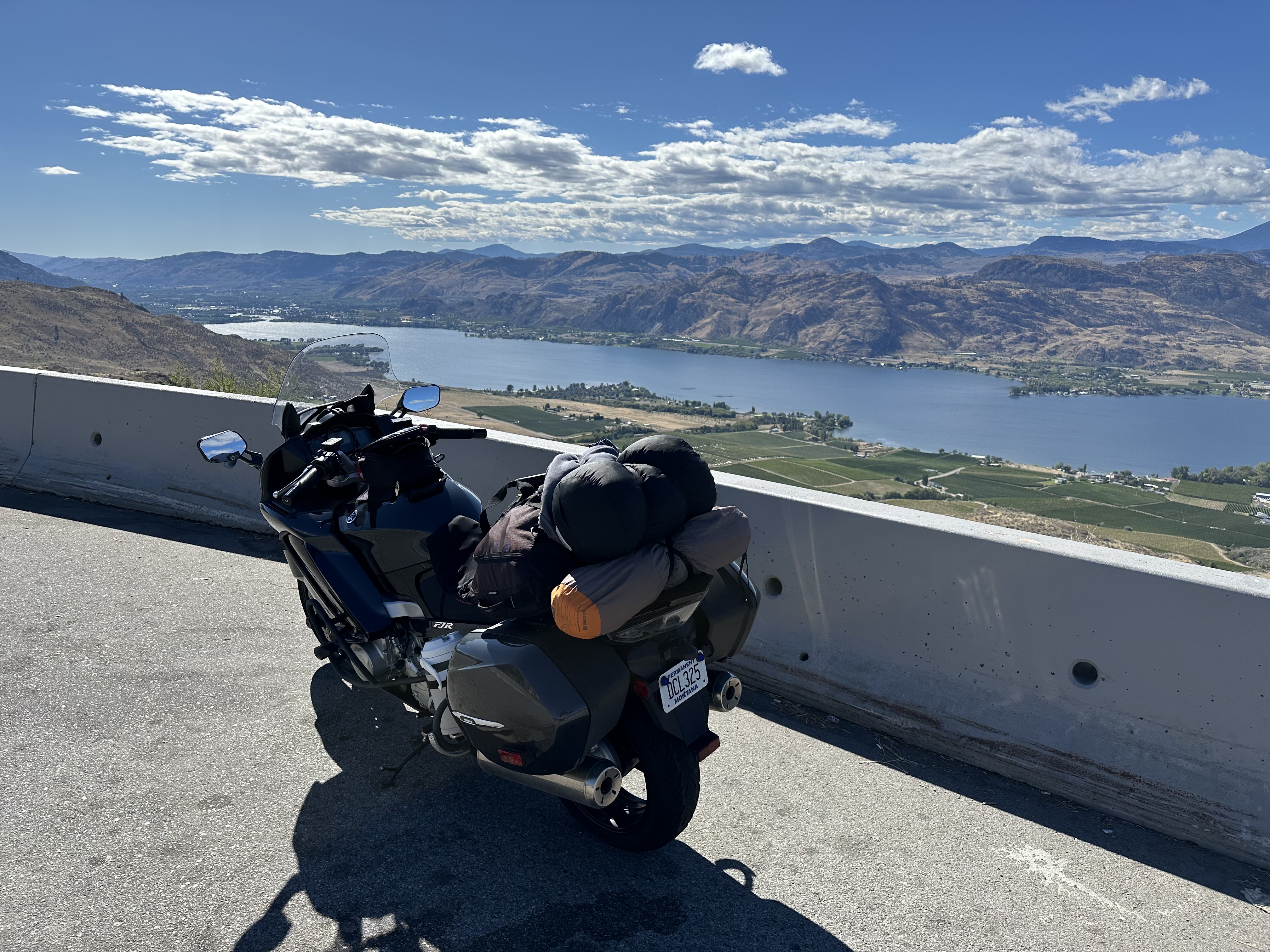
I went through the town of Osoyoos and got on Hwy 3 which would take me eastward across Canada.  I stopped at an overlook to get a better view of the city.


I took Hwy 3 east and it was a pleasant ride.  The roads are in great shape and the scenery is, of course, wonderful.  I stopped for gas along the way and got it in liters and Canadian dollars.  I have no idea what it cost as the credit card handles that heavy lifting.


I did have to figure out some math in my head while riding as the speed limits and curve suggestions are all in kilometers.  I figured that if I took the posted number, divided that by ten, and multiply that by 6 it would give me a close approximation.  This was based on knowing that 100 Km is about 60 mph.  It worked well enough.


I stopped for a photo or two along the way.  These were in Midway.


In Castlegar I stopped for some gas.


I continued on but it was getting late.  I didn’t want to rush leaving this morning and thought that after riding the ferry that I’d make good enough time to get to the campground at Surveyors Lake well before dark.  However, as the day went on, it started looking like an after-dark arrival.


I stopped for a few photos near Salmo. I was playing leap frog with a couple Harleys for a while.


I. Pulled into Creston and stopped to clean bugs off my visor.


Creston is a really nice town, one I’d like to go back to.  I continued on and it went from dusk to dark as I went through Cranbook.  I was here in the past and just remembered it was a typical medium-sized city.  It looks to have grown and has all the usual retail businesses found in the states, all lined up on Hwy 3 through town which is under construction the entire way.  They’d milled the road on the eastbound side so it was less than fun handling the bike on that and also avoiding raised manholes.


By the time I got to the Kikomun Creek Provincial Park it was dark and my high beam was really handy the last 15 miles or so.  I pulled up to the gate which was, of course, closed as it was almost 9pm.  I read the notices and it pretty much said to find a site with a green “Available” tag, take it, and a park person would come around at some point to take care of the registration.


I took site 25 which looked fine and was reasonably close to the restrooms which the map indicated had showers.  I dug out my headlamp and got the tent set up, loaded my gear into it, and made my dinner, sticky mango rice.  It was quite good.  All I’d had today was my breakfast oatmeal which I’d brought along and ate a bit every time I stopped.


It was a full moon and that provided lots of light.


It was a 449 mile day.

The 2024 PNW Ride - Day 7

September 17, 2024


I was a good visit but it was also time to hit the road.  I had breakfast with my mom and then got things packed up and loaded.  I was on the road about 9:15.  My mom took a photo of me pulling away.


I rode to Port Townsend’s ferry terminal for an 11 am sailing and got there plenty early.  Here’s some photos of my bike before I lined up.


I’d made a reservation although it probably wasn’t needed and when I pulled up to the ticket booth I said I had a reservation but he probably didn’t hear me and just said $5.50.  OK, but I got an email later that I was being charge $3.00 for not unsling my reservation.  WTF?  OK, whatever.


[Update: I replied back to their customer service and told them what had likely happened and included a photo of my bike on the ferry and they are refunding the $3.00.]


I got in line.


I looked around and saw a 1928 Packard getting ready to cross too. 


I chatted with the owner and he said that it’s all original except for the wire wheels but he had the original wheels and puts them on for car shows.  It has a nice patina.


I walked back to my bike just as 3 woman pulled up on theirs.  They were Canadians from Vancouver and were on a tour of the “Cascade Loop” which they said runs them down to Leavenworth, WA and then they take Hwy 20 to the west over the mountains.  They were a fun group and not too much younger than me.  One rode a Yamaha Star, another one was on a Honda, a Rebel, and the third was on a Royal Enfield.  It was quite the mix.


The ferry docked and the pedestrians disembarked first followed by the cars, semi-trucks, and RVs.  


Then we loaded up.  Like the last time I rode this ferry they put us all the way in the front to the left so we don’t take up space for a car.


When we got underway I did a walking tour of the boat.


I went back to my bike and shot a short video.  It was really calm out today.


I headed north, sort of taking the main road until I saw that I was on Hwy 20, the road that would take my into the Cascades later.  I stopped for gas and then continued on, stopping to take a few photos at Deception Pass.  The tide was coming in.


It took a bit to get out of the city but I eventually got into the mountains.  Unlike previous trips, on this journey I’m stopping less for photos partially because of the weather on the first couple days and now because I want to ride.  Suffice it to say that the roads are full of curves and twists and the scenery is lush with evergreens and it seems like there are lakes around every corner.


This is near Marblemount on the Skagit River.


I made a brief stop at the North Cascades Visitor Center to adjust my layers of clothing and to have a snack.


There was a very scenic vista point at Ross Lake and I pulled in to take a look.


Not too far from where I would camp was another scenic viewpoint.


The campground I selected was Lone Fir and I was surprised how busy it was.  When I pulled in I looped the place and saw that about half the sites were occupied. I went around again and picked a site that had a nice place for tent and was relatively close to the water.  I thought that the parking area for the site looked rather large and then noticed that it served two sites.  Hmmm, maybe later arrivals won’t notice and think that I’ve got the whole thing and I won’t have neighbors.


I walked back up to the registration sign and booked the site.  $7.50 with my Inter-Agency Pass.


I went through the ritual of getting things set up and took a few photos.  I walked to the river to see what was there.


Not ready to settle in I took a walk around the loop and found a trailhead.  The map indicates that it is paved to the washed out bridge but there is a dirt trail that goes beyond that. 


I felt like a hike and wandered along reading the plaques that talked about the local ecology.
  I walked as far as the missing bridge and was able to get across the river on rocks and logs.  Then I turned around and went back.


I found my way back and made my dinner.  While it was soaking I talked to another camper who came by with his dog, half shepherd and half huskie.  The dog’s name was Luka, 7 years old, and I was told that he was a foster dog and they had failed at fostering as they decided to keep him.  They have fostered over a dozen dogs over the years.


After I ate I settled in to read for a while before sleeping to the sound of the river.


It was a 201 mile day.

A Quick Loop

August 16, 2026 Nice weather. Chores out of the way.  And hour or two free.  Time to ride.  I had to get the bike out anyway and give it a w...