Saturday, September 14, 2024

The 2024 PNW Ride - Day 2

September 12, 2024

The rain continued all night and into the morning.


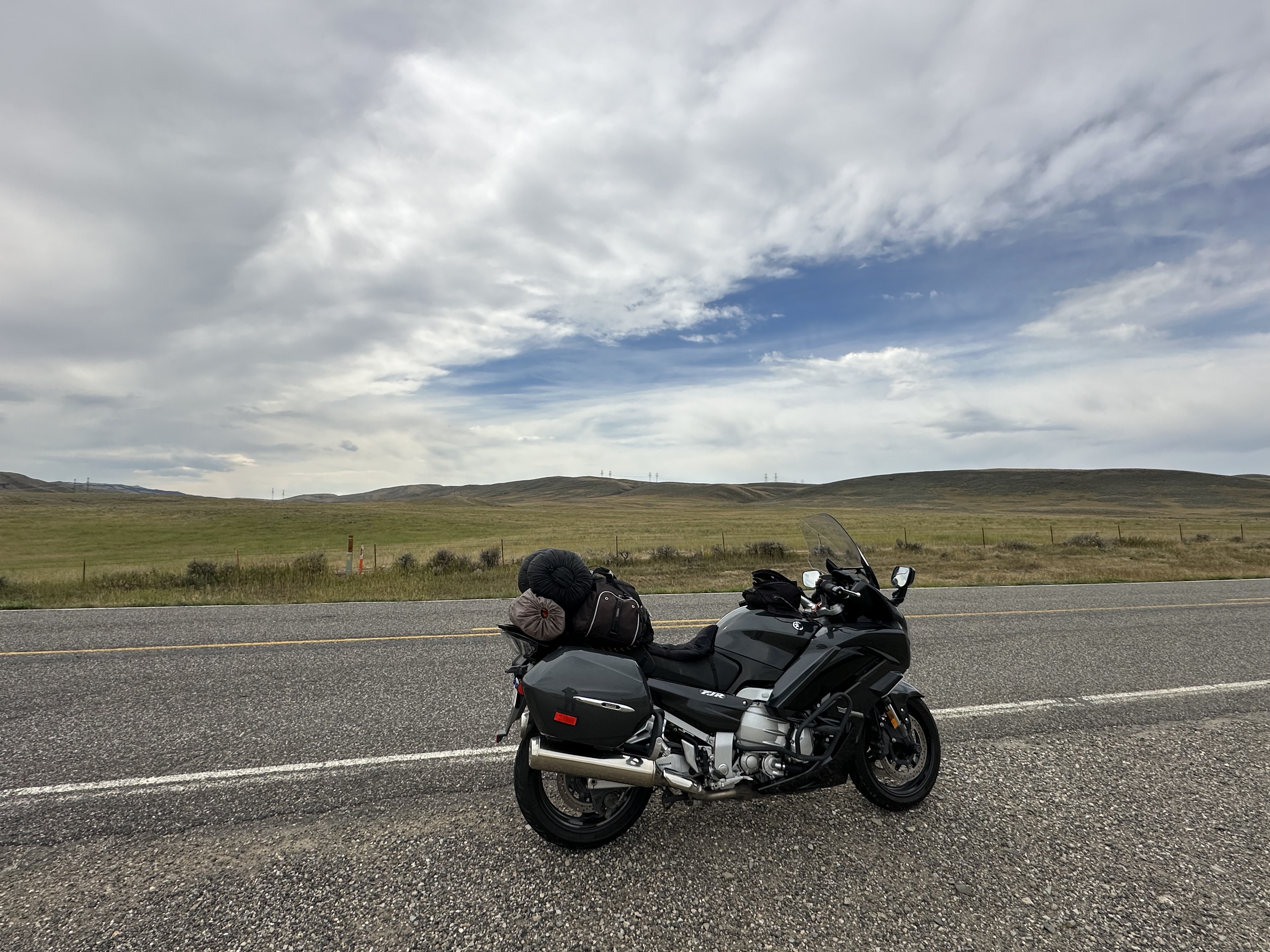
I took my time getting the day started while hoping that it would let up but it seemed to say it was planning to hang on.  I read for quite a while but then got the process started of getting things packed up inside the tent and then loaded on the bike.  I shot a photo before I took the tent down.


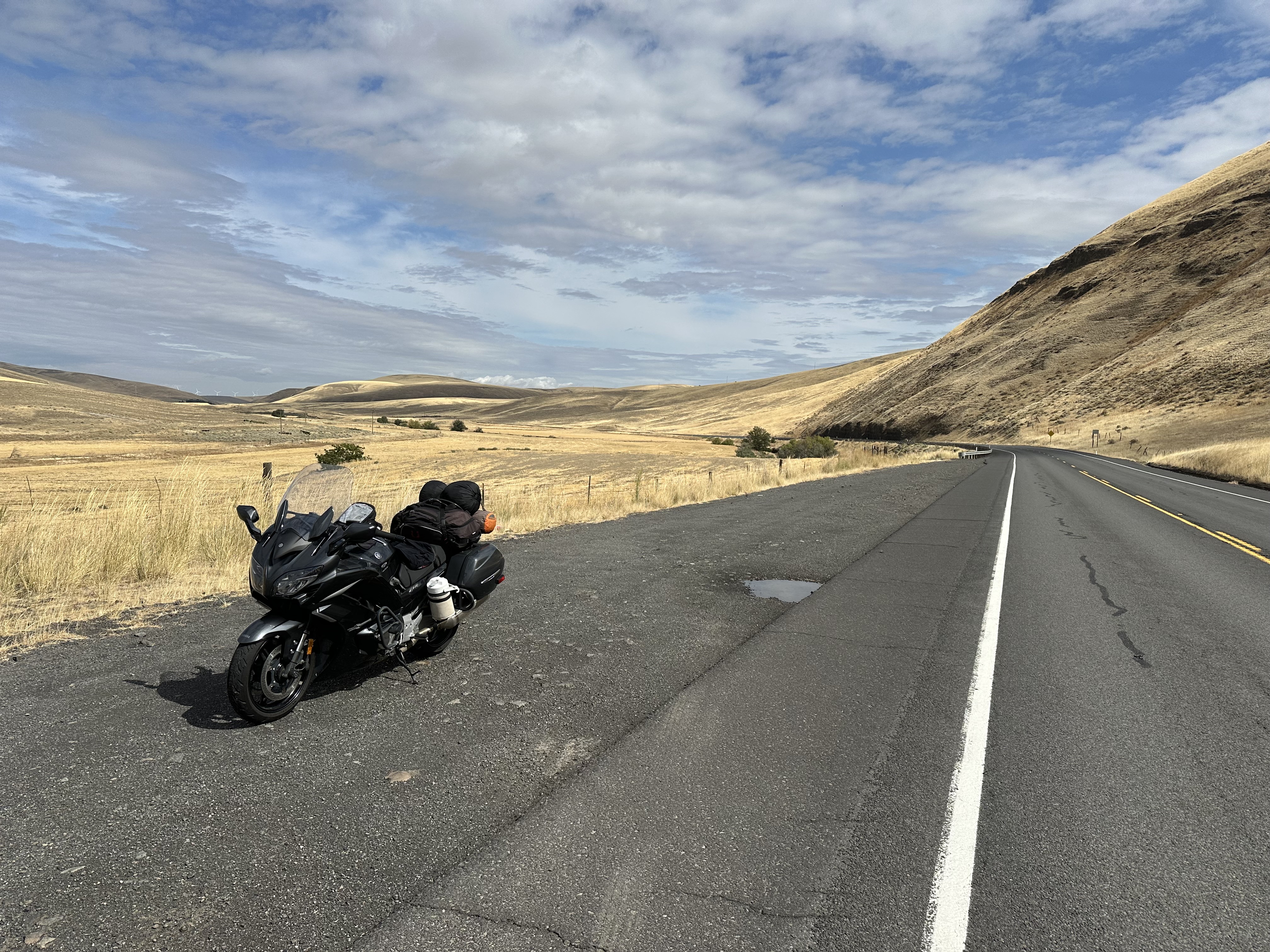
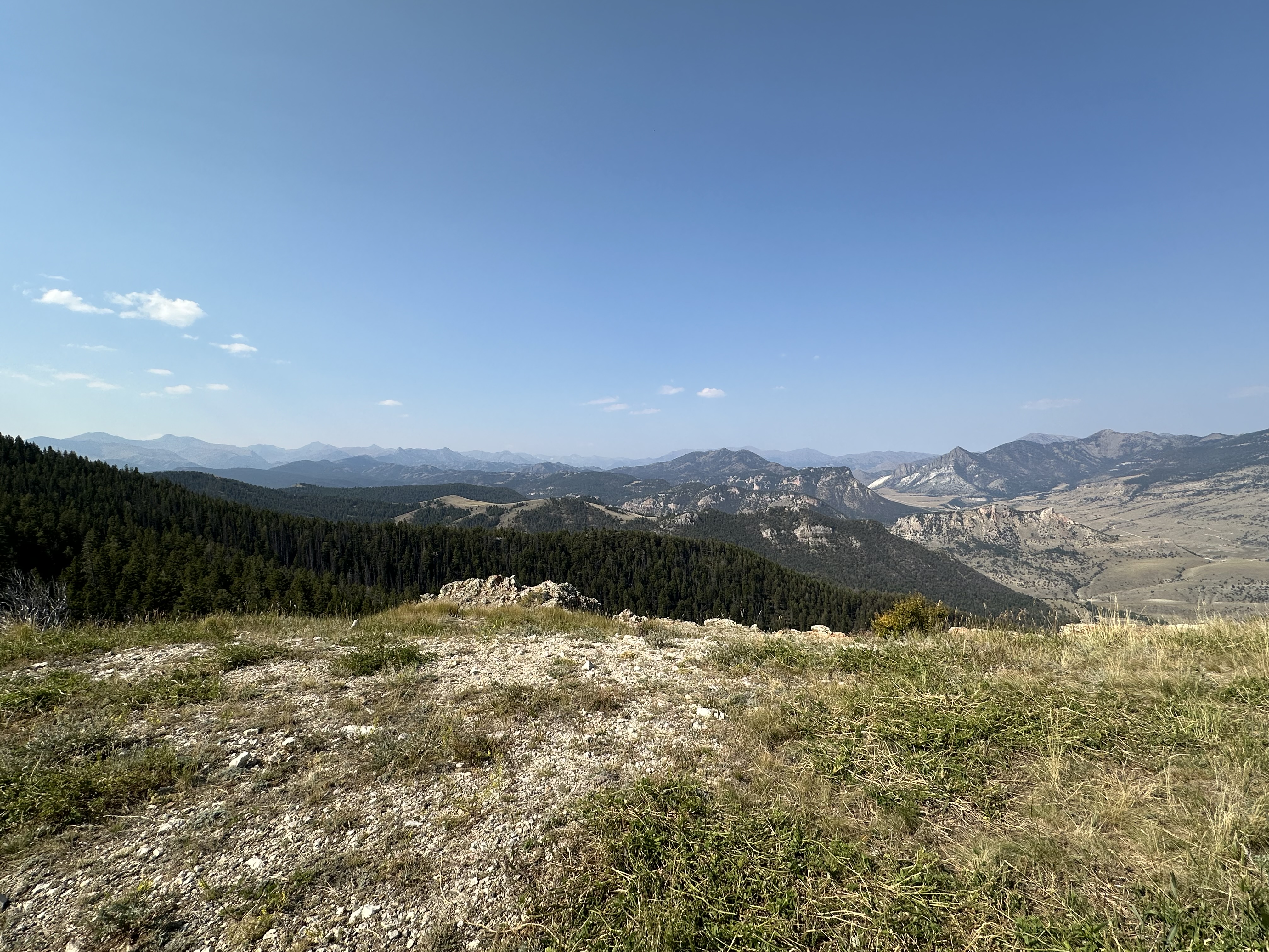
The tent was heavier than usual due to the water trapped in it but once everything was loaded up I headed out.  Yes, it was raining but the ride was still a good one.  I stopped along the way to enjoy the wet scenery.


I arrived in Kamiah, ID in what was still a downpour.  I stopped for gas at a place that was also a store of some kind and noticed some umbrella-covered picnic tables in back and decided to take a break from the raindrops.


I continued on westward and by the time I got to the Slaterville rest stop the rain had finally stopped.


The further I rode, the better the weather became although the wind did pick up a bit as I got into eastern Washington.  I pulled into Pomeroy, WA and spotted their courthouse and wanted to add it to my collection of photos showing my motorcycle parking in front of county courthouses.


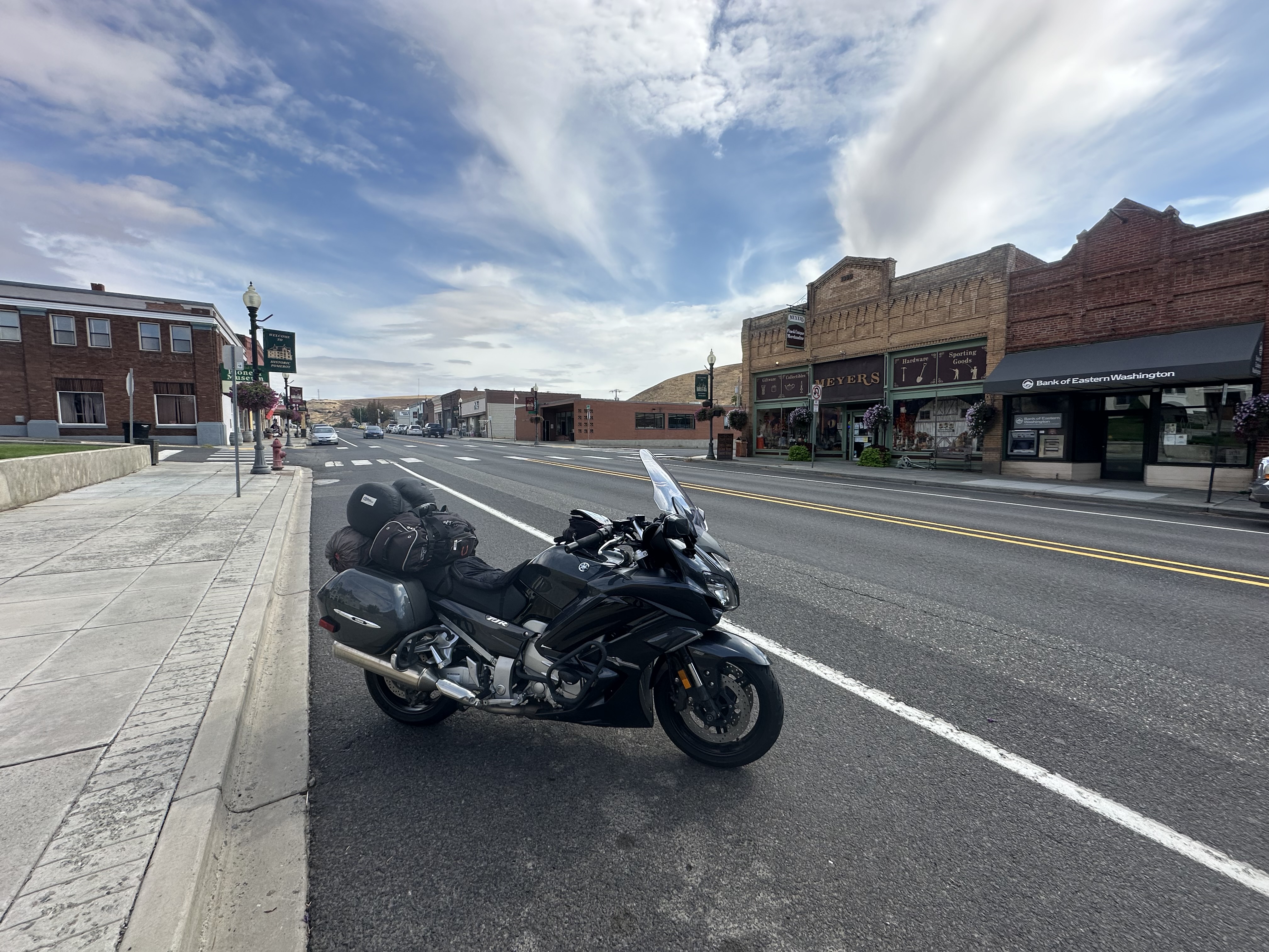
It seems like a nice town and I’ve have to remember to look it up later.


I’d set my navigation tool to route me to Palouse Falls so I was on a different course than I’d been on in the past.  I went through miles and miles of rolling hills of what I assume were in wheat production.


I crossed the Snake River and pulled into Lyons Ferry State Park to grab a photo of the bridge I had just crossed.


The next stop was Palouse Falls.  The turn off put me on a 2-mile long gravel road that was heavy with the washboard effect.  I felt like I was doing destruction testing to see what would fall off my bike but I arrived at the parking lot without losing anything.  I took a few photos of the falls and then got back on the road.


The next part of the ride was fantastic.  It’s Hwy 261 and although short, it has some nice twisties.  From there I took Hwy 260 westward before getting on some very minor county roads. I gassed up in Connell and then continued on to an intersection that brought me within a few miles of Othello, WA.  My roommate when I was stationed in Germany was from there.  I should look him up before I come through here again.  
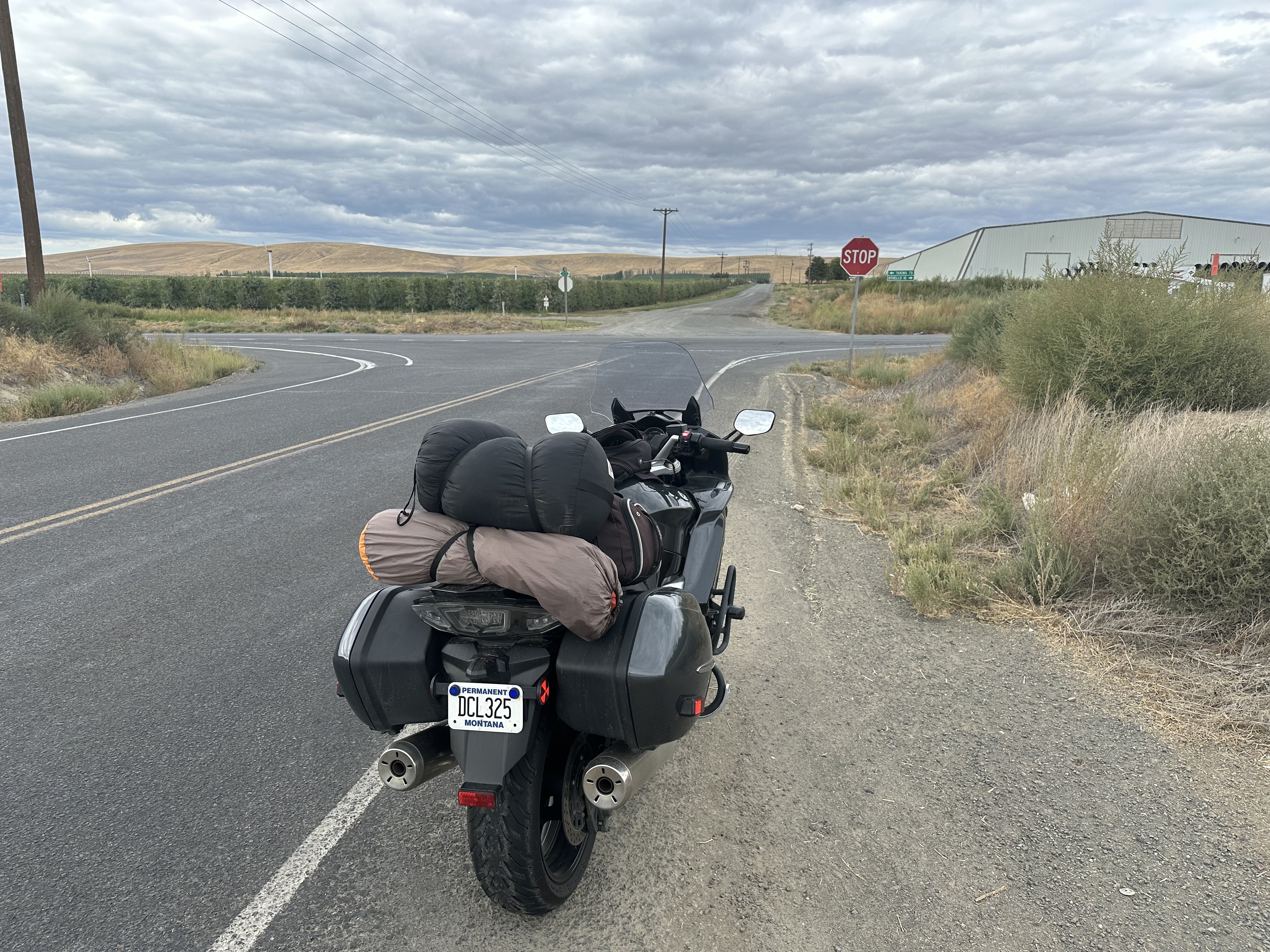

I crossed the Columbia River near Sunnyside and stopped at a rest area for a break to remove rain gear and to have a snack.  I notice that the water in my tent had drained out to one end of it’s bag.
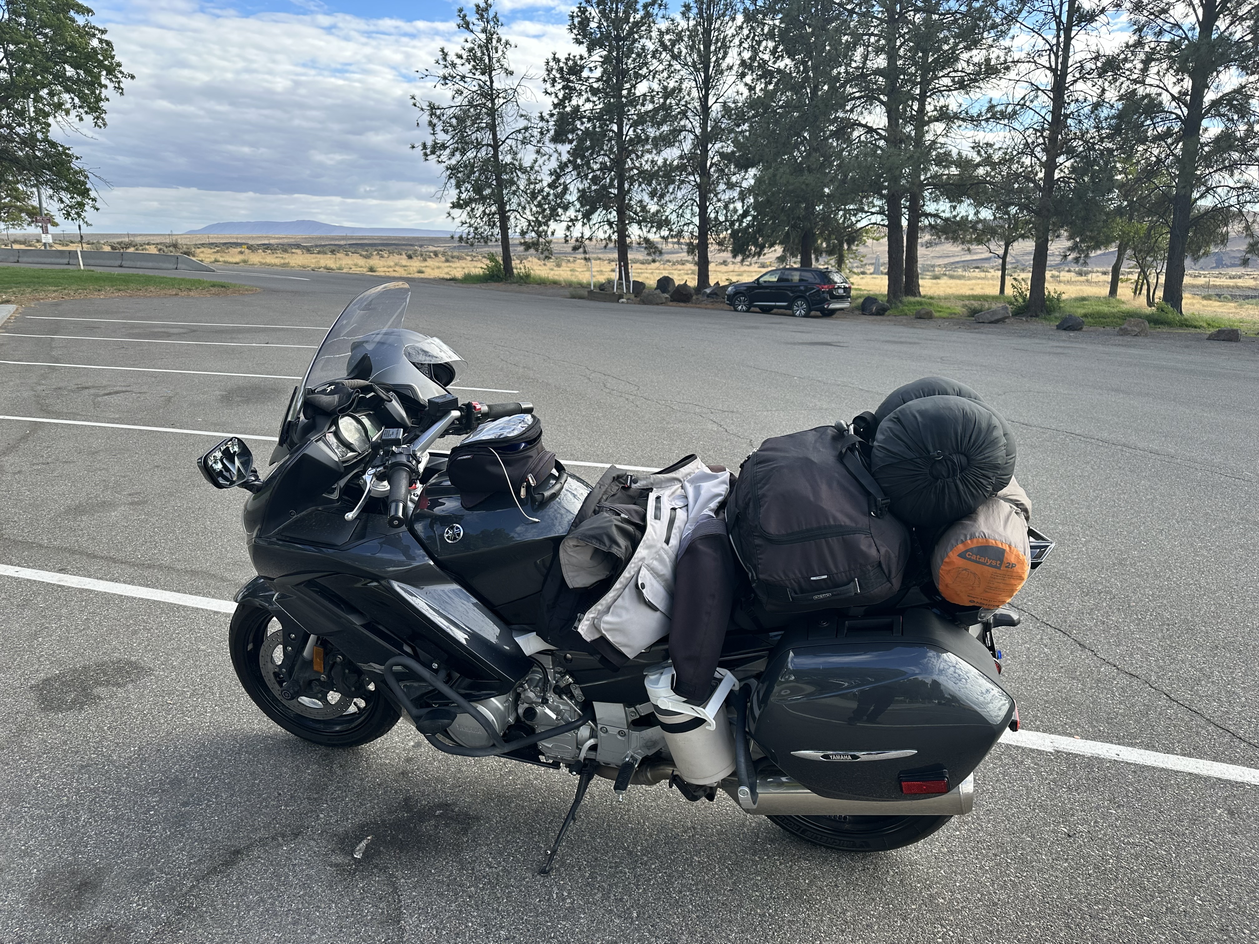


I stopped gas in Yakima before heading up Hwy 410 for a place to camp.  I was originally going to take Hwy 12 but many of the campgrounds were closed due to fires and there was lots a construction along that route.  It turned out to be a good decision as Hwy 410 was a treasure.

Before leaving on this trip I’d looked online and saw a campground called Sawmill Flats that would be about perfect and it had lots of available sites.  However, the day before I left it showed none available to reserve but I figured it was because it was too close to my arrival date.  That turned out to be the case because when I arrived there I looped through the campground and saw only one other camper.  However, there was reservation notices on most of the sites for the upcoming weekend.  

I selected a site far from the other camper (who were in an RV and running a generator) and one that was right on the river.  It was a few steps from the bike to where I wanted to pitch the tent next to the river but it didn’t take long to get things set up.  The tent was wet so I mopped the floor with a microfiber cloth and it didn’t take long for the rest of it to dry out.  I walked back to the registration thing and paid ($22, no discounts here) and then got water boiling for my dinner.  It’s a Pesto Pasta I hadn’t tried before and turned out to be mighty tasty.


Time for a few photos.


Just after dark a pickup pulled in a toured the site.  He picked one near the entrance but discovered the sign that indicated it was for handicapped so moved and took one a few sites from me.  I guess saw my light and decided to move again and I saw him back into a site on the far side of the campground. After a bit he started his truck up again and toured the grounds and eventually took the site right next to me.  Geeezzz, whatever.  He was quiet and slept in his truck so that was OK.

I got settled in, read a while, and then slept, soundly.

It was a 412 mile day.


The 2024 PNW Ride - Day 1

September 11, 2024

There were a few reasons for this ride.  One, I needed to get out to western Washington and see my mom again now that she’s mostly recovered from a medical issue and back in her our place and, heck, I wanted another long solo ride before the weather changes and the bike gets put away for a few months.  In the time I’ve had the bike, since April 2021, I’ve average 10,000 miles per year and this trip should put me over for a total of 40,000 miles.

I set the 11th as a departure date and when I looked back to two years ago when I last headed in this direction on the bike I’d also left on September 11.  The route for Day One will be almost the same although I’ll be camping at a different site as the one I was in the last time, Wendover, is closed for some reason.

I did the usually packing and got the bike loaded up and was on the road about 9:15am and made a stop for gas.


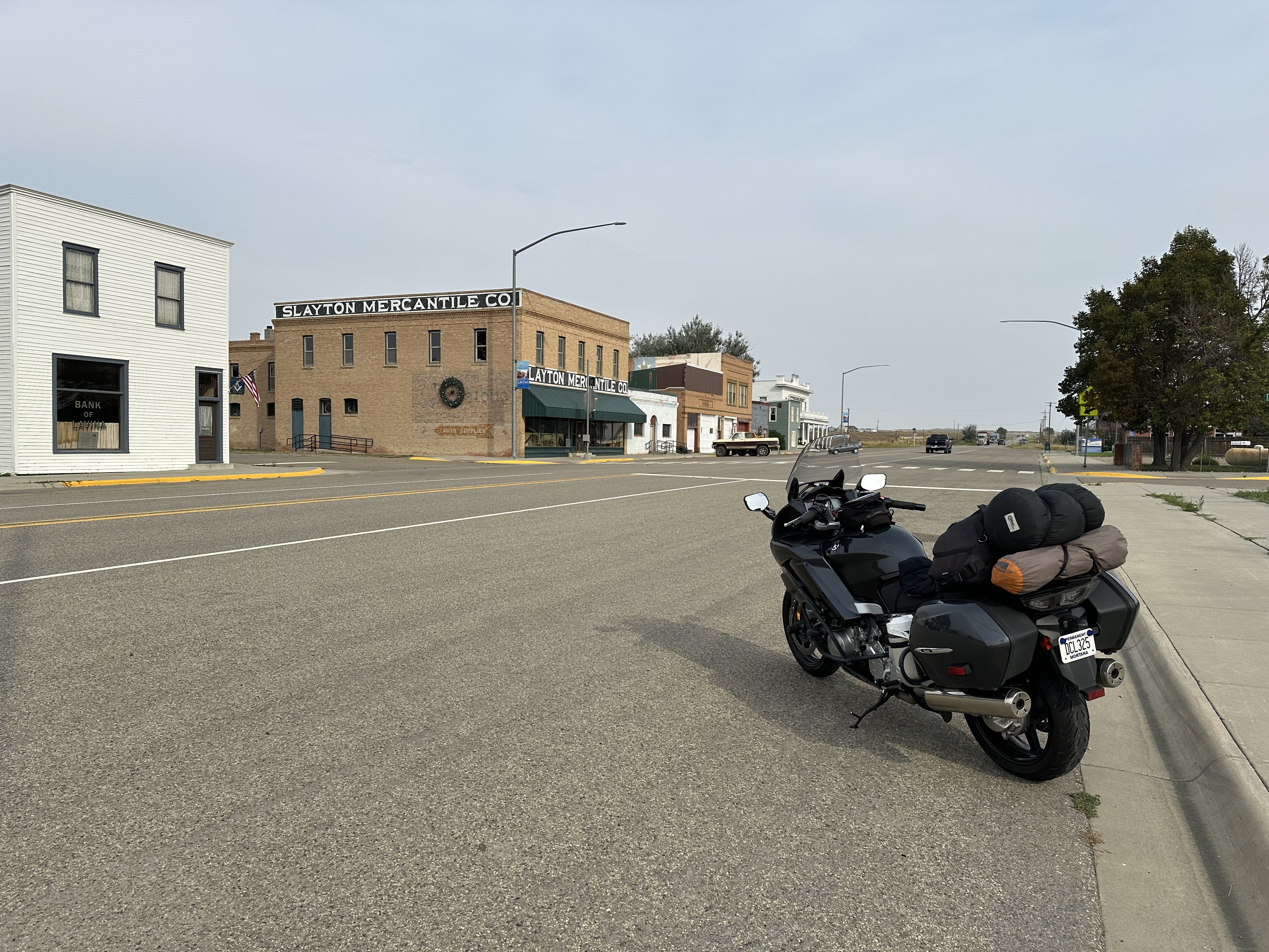
I headed out of Billings on Hwy 3.  I stopped in Lavina for a quick break and a photo.


I rode the usual route to Harlowton and made a stop for the facilities.  It’s a beautiful morning with cool air and only a light breeze.


Just outside Harlowton there was a sign warning motorcyclists about the construction ahead.


Well, it’s 10 miles of construction but, luckily, it was all paved or hard-packed dirt so easy enough to get through.  To differ my route from last time, instead of heading to White Sulfur I turn towards Martinsdale.  Before missing that small town I detoured for a quick tour (OK, I made a wrong turn) and stopped for a photo.


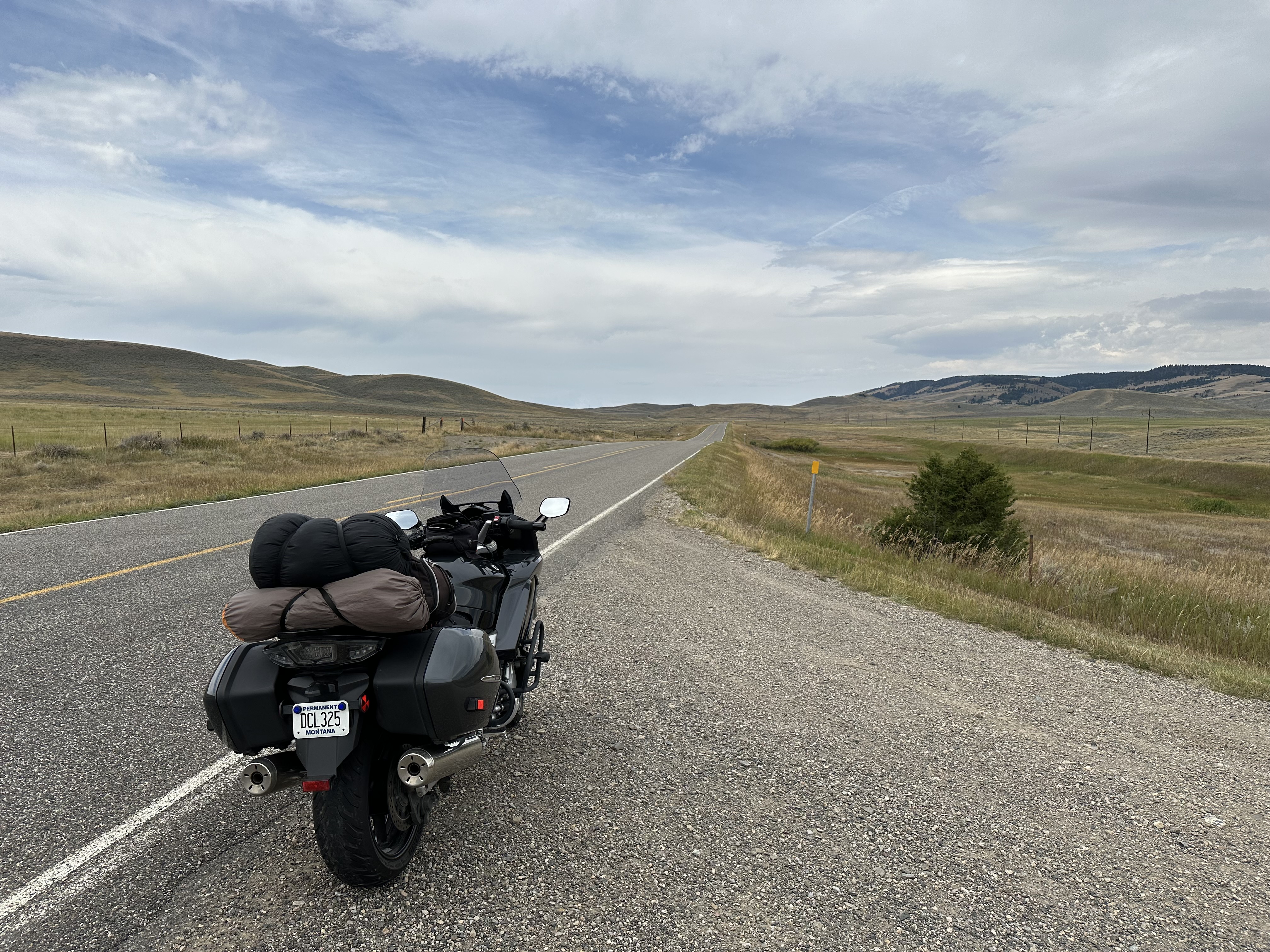
Some photos from along the way to Townsend.


In Townsend I stopped for gas.  When I left the station I was VERY careful as I was almost hit by a car here 2 years ago.


Some photos from along the they way.  The data says it was in “Helmville.”


Somewhere, about 25 miles or so from Missoula, the weather changed.  I could see lightning ahead and then a few drops of rain appeared.  I looked for place to pull over and found one just as the rain got serious.  I’d packed my rain gear in the top of my pack so it was easy to get to and didn’t take that long to get the liner in my jacket, pull my rain pants over my riding pants, and change out to my cold weather gloves.  But the rain got even more serious as I got going again. 

It let up by the time I got to Missoula and since I was headed to Lolo I had no alternative but to ride through the city on Higgins, and all sorts of other streets with the 5 O’clock traffic.  In Lolo I stopped for gas and bought a can of beer to go with my dinner and at the last moment grabbed a bag of chips.

Now I continued west on Hwy 12, a ride I’ve done many times, going back to 1982 when I rode this eastbound on my ‘76 Honda CB750 on a ride that took me to Canada.  It’s a wonderful highway over Lolo pass and then 60-some miles along the Lochsa River.  About the time I hit the Idaho state line the rain started again and it wouldn’t stop for a long time.  Luckily, my experience level of riding in the rain got a major boost on my big ride last May with many days of wet roads.  The bike handles superbly.  Sorry, it was too wet to stop for photos.

I did see that the Wendover campground was closed so continued on to the Jerry Johnson campground.  I rode the loop, noticed only a few other campers, and picked a site that I thought might be OK.  I got off the bike and looked for a likely spot for my tent and all I saw was a picnic table and a fire ring surrounded by vegetation.  I walked to some of the adjacent sites and it was more of the same.  It’s more of a car and RV place than one for tenters.  OK, I’ll pitch the tent next to the bike.

It was raining pretty hard and even though I worked fast, the tent interior took on water before I could get the rain fly up.  I moved my gear inside, blew up my air mattress, unrolled my sleeping bag and got out of my riding gear.  Maybe it would let up and I could get out and cook a meal.  That didn’t happen so it was beer and chips for dinner.  I settled in for the night and slept pretty well.

It was a 422 mile day.


Sunday, September 8, 2024

Group ride on the Chief Joseph and the Beartooths

September 7, 2024

A few weeks ago Jason said we should do the Chief Joseph/Beartooth Pass loop on our FJRs and suggested September 7th.  I was free that day (heck, I’m retired so I’m mostly free anyway) so that worked for me.  We both invited a couple of friends and decided to meet in the parking lot of Zoo Montana at 9:15.  

Since it was a Saturday, I started the day off with my regular run but cut the distance down to 4 and half miles so I’d have time to get home and still make it to the departure point on time.  It was a beautiful morning, 55°, and my two running partners, Shelley and Sarah, the latter who is from Alaska, and I did a route we hadn’t done in a while, the Poet Streets.


I’d packed the bike the day before so once showered and dressed, I just had to get on it and go.

We were all at the meet up on time and there were 5 on us: me, Jason (Yamaha FJR), Dennis (Harley), Bob (Yamaha Tenere), and Bill (Victory).


I led the first leg and we took a leisurely route out Story Road, across the Yellowstone River on Duck Creek Bridge, and River Road to Hwy 212.  Then it was to Rockvale where we turned south on Hwy 310 to Bridger.  There is a new gas station there and we stopped to give everyone a chance to top off if they wanted.

From there, Jason took the lead and we continued south, took the Hwy 72 to Belfry where we continued on to the Wyoming State line where the highway become Hwy 120 and crosses Badger Basin.  This is a mostly straight-as-a-ruler road where the speed limit can easily be tempted.  The traffic was light and we scooted along to the turnoff for Hwy 296, the Chief Joseph Scenic Byway.  This turnoff is 93 miles from my driveway.

When I rode this same route exactly one month ago, there was a long section on the road being chipped sealed.  That was completed now but we all remarked about how our bikes felt a bit unstable in the curves on the new road.  It sort of felt like a grooved highway but there really weren’t grooves so it must have been a subtle texture left from when thy rolled the gravel in place.

Our first stop was at the top, Dead Indian Summit Overlook, where we took a break and chatted while enjoying the view.


Dennis, Jason, Bill.


The road below that we’ll travel on.


The next stop was Sunlight Bridge.  We pulled into the lot and enjoyed watching the guy with the trailer backup and get turned around, something he did quite well.  Photos from the bridge can be found on my previous ride.


With Jason still in the lead we rode on through Sunlight Basin with its gorgeous scenery and road with great sweeping curves until we intersected with Hwy 212.  We turned left and rode to Cooke City, about 13 miles.  This is a good place to get gas for those who might be in need and a popular stop for all sorts of vehicles who are touring this area as well and Yellowstone Park which is just a few miles to the west.  There are always lots of motorcycles to be seen here.  We parked in the shade of an old hotel and had our picnic lunch while chatting and looking at the other motorcycles.  We were parked next to a very nice BMW K1600.  The owner was from Chicagoa nd the bike was extremely clean.  It was suggested, later, that it probably came here by trailer.


After this break we were back on the road and headed up the backside of Beartooth pass, stopping across from the Top of the World store for a quick photo opportunity.


The next stop was the obligatory photo on the top of the pass.


We descended the mountain and entered Red Lodge.  Dennis left us at the turnoff for Belfry and the 4 of us stopped at the gas station at the roundabout.

Now back into cell service range I checked my phone and found out that there was some major police action in the alley behind my house and my wife said she’s been evacuated along with other neighbors.  It was something about a standoff with a guy with a gun.  She said I might not head home until there was an All Clear.  Bill took off ahead of us and said we might see him at Angry Hanks Microbrewery.  Jason was heading home and Bob and followed him back to Billings until we separated at Frontage Road, which Bob and I took into the city to the microbrewery.  I’d texted my regular Saturday partner at that establishment and told him I’d be running late but he’d waited and he, Bob, and I had a nice chat over a beer. 

I hadn’t heard anything about the situation at home but decided to just ride there and see.  By the time I pulled into my driveway the neighborhood seemed normal.  I unpacked my bike and rode it across the street to the garage where I keep it and talked to my neighbor who said that it was resolved a bit ago and that the person in question had been taken away.  It was some kind of domestic situation.

What a great ride.  Good riders, roads, and weather.  A 284 mile day.  I’m ready for an oil change.


Last Beartooth of the Season and YNP

October 9, 2026 When I saw that the incoming storm prompted the Montana Department of Transportation to announce the closing of Beartooth Pa...